
 Pittsburgh Post-Gazette
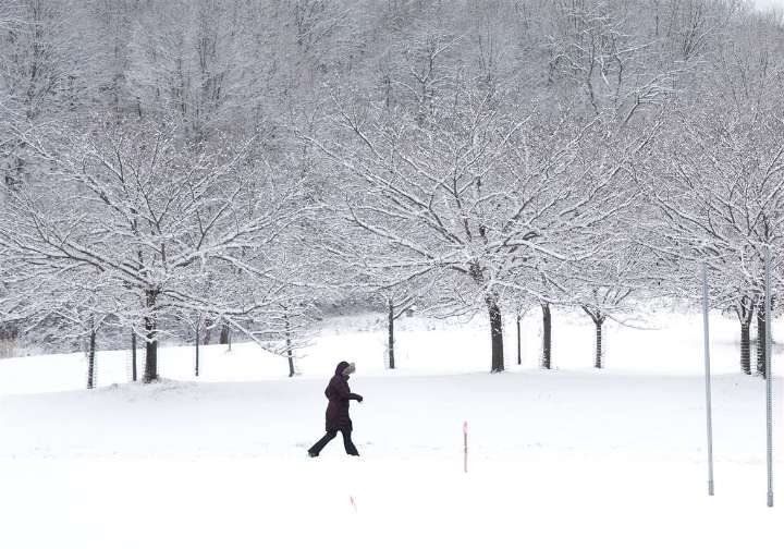
Widespread snow is expected to return to the region Saturday, prompting a winter storm watch to take effect south of the city through the weekend, meteorologists say.
Temperatures will remain below average Friday through Monday, before a warm up next Wednesday could promise some relief.
Here’s what else to know.
Today’s forecast
There will be some light snow showers Friday that will diminish north of Pittsburgh as winds shift off of Lake Erie, said Shannon Hefferan, a meteorologist for the National Weather Service in Moon.
Highs will be near freezing, she said, and lows will dip into the 20s. There could be some breaks of sunshine, but it will be mostly cloudy.
Although Pittsburgh could get some flurries, she said, the main snow event this week will arrive Saturday afternoon.
The re

 Daily Voice
 The Philadelphia Inquirer Crime
 Times Leader
 ABC News
 Raw Story
 K2 Radio Local
 NFL Baltimore Ravens