
 KPAX
KPAX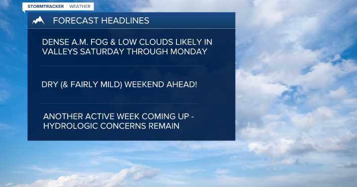
MISSOULA — Remnants of our recent Atmospheric River event will continue to impact the region into early Saturday with diminished intensity compared to midweek.
Watch the forecast: Weather Forecast: 12.12.25
Flooding appears to be improving across Sanders and Lincoln counties, but the rivers and streams will remain extremely high for another 24 hours. The rain that returns Friday afternoon and evening will be capable of putting down an additional 0.10” to 0.25”.
Cold air banked up — and seeping through — the Continental Divide/Rocky Mountain Front will keep the threat of snow across the West Glacier & eastern portions of the Potomac/Seeley Lake Regions.
A Winter Weather Advisory continues for the West Glacier Region through 5 a.m. Saturday for light accumulation.
Elsewhere, above av

 NECN Providence
 ABC6 Rhode Island
 NBC Connecticut
 Siskiyou Daily News
 The Oregonian Public Safety
 MyNorthwest
 WMTV NBC15
 DoYouRemember?