
 SIAdvance
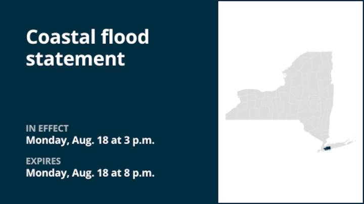
At 2:59 p.m. on Monday, the National Weather Service released a coastal flood statement valid between 3 p.m. and 8 p.m. in effect until 8 p.m. for Queens and Nassau County.
"Up to one half foot of inundation above ground level expected in vulnerable areas near the waterfront and shoreline," explains the weather service. "Additional rounds of localized minor flood possible during the late afternoon into evening high tides through midweek. Potential for more widespread minor to locally moderate coastal flooding with the Thursday evening high tide. A high rip current risk is forecast for Tuesday as the swell from Hurricane Erin increases. Longer term, life- threatening surf and rip currents expected for the rest of this week as building long period swells from Erin continue, peaking on Thu/F

 Honolulu Star-Advertiser Traffic
 New York Post
 The Baltimore Sun
 stupidDOPE
 Brooklyn Paper
 Daily Voice
 WSVN 7 News
 FOX News Politics