
 SIAdvance
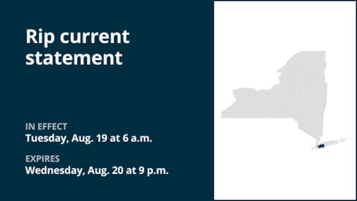
On Monday at 2:59 p.m. a rip current statement was issued by the National Weather Service valid from Tuesday 6 a.m. until Wednesday 9 p.m. for Queens and Nassau County.
"Dangerous rip currents expected," comments the weather service. "Additional rounds of localized minor flood possible during the late afternoon into evening high tides through midweek. Potential for more widespread minor to locally moderate coastal flooding with the Thursday evening high tide. A high rip current risk is forecast for Tuesday as the swell from Hurricane Erin increases. Longer term, life- threatening surf and rip currents expected for the rest of this week as building long period swells from Erin continue, peaking on Thu/Fri."
"Some water on low-lying roads and property. Life-threatening rip currents are lik

 ABC News
 New York Post
 Daily Voice
 FOX 5 DC
 Asheville Citizen Times
 RadarOnline
 Raw Story
 Essentiallysports Golf