
 KOLR10 News
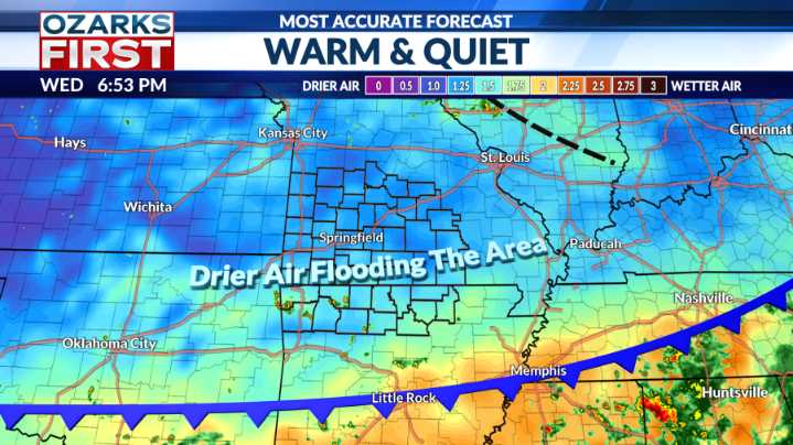
Last night's cool front didn't come with the heat relief that many hoped for, with afternoon highs back above 90° in many spots. But, not to worry, we just need a bigger dose of Canadian air, and we'll find that moving in this weekend.
The first cool did help, trimming afternoon highs by almost 10°. Drier air flooding in will also make for a comfy, cool start to Thursday.
The drier air isn't just flowing in at the surface; the whole atmosphere is drying out. This will tamp down rain chances to almost zero for the next couple of days.
Rain chances will perk up a little on Saturday as the next cool front approaches. It should be a good day to get out on the water, just keep an eye on the sky for a pop-up afternoon storm.
The front won't be a drought buster, but it will give us a real tas

 Eyewitness News 3
 Los Angeles Times
 KTNV Channel 13 Las Vegas
 CBS News
 Associated Press US and World News Video
 WLKY
WLKY WVTM 13
 FOX 35 Orlando
 Tampa Bay Times Health