
 SIAdvance
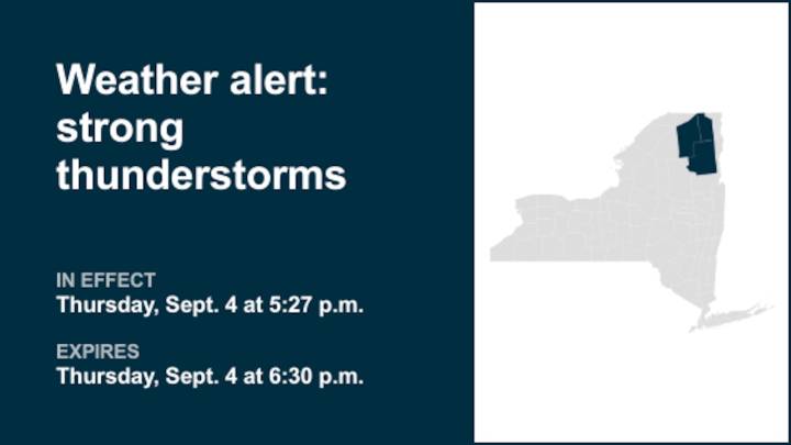
A weather alert was issued by the National Weather Service on Thursday at 5:27 p.m. for strong thunderstorms until 6:30 p.m. for Franklin, Clinton and Essex counties.
Residents may experience wind gusts of up to 50 mph.
"At 5:26 p.m., Doppler radar tracked a strong thunderstorm near Harrietstown, moving northeast at 30 mph," comments the weather service. "Gusty winds could knock down tree limbs and blow around unsecured objects."
Locations impacted by the alert include Adirondack Regional Airport, Saranac Lake, Lake Placid, Franklin, Wilmington, St Armand, Harrietstown, Brighton, Black Brook, North Elba, Saranac, Santa Clara, Bellmont, Paul Smiths, Union Falls, Saranac Inn, Ray Brook, Gabriels, Lake Clear and Upper Saint Regis.
The weather service comments, "If outdoors, consider seeki

 Newsday
 New York Daily News Crime
 New York Post
 New York Daily News
 KRWG Public Media
 News on 6
 KY3
KY3 The Daily Beast