
 SIAdvance
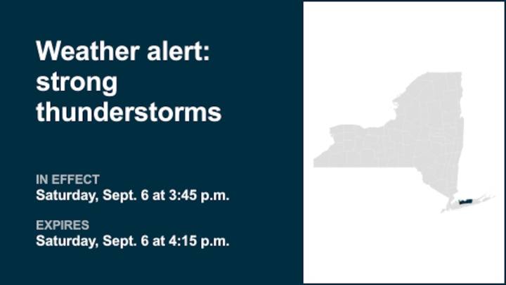
A report was issued from the National Weather Service on Saturday at 3:45 p.m. for strong thunderstorms until 4:15 p.m. for Suffolk County.
Residents can anticipate wind gusts of up to 40 mph.
"At 3:45 p.m., Doppler radar tracked strong thunderstorms along a line extending from near Fairfield to near Westport to 6 miles southeast of Norwalk to near Centerport to near Oyster Bay. Movement was northeast at 50 mph," adds the weather service. "Gusty winds could knock down tree limbs and blow around unsecured objects."
Locations impacted by the alert include Northport, Centerport, Fort Salonga, Lloyd Harbor, Huntington Bay, Eatons Neck and Asharoken.
According to the weather service, "If outdoors, consider seeking shelter inside a building. A Severe Thunderstorm Watch remains in effect unti

 Local News in New York
 KSNB Local4 Central Nebraska
 KRIS 6 News Weather
 Arizona's Family
 FOX Weather
 The Washington Post
 New Jersey News
 The Babylon Bee