
 WBRC
WBRC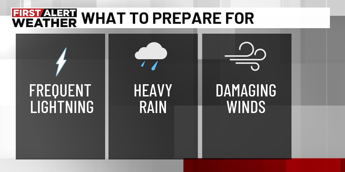
BIRMINGHAM, Ala. ( WBRC ) - NEXT 24 HOURS: A cold front is on the way and will bring a more organized chance for scattered strong to severe storms.
The timing starts Wednesday afternoon, Sept. 24, and continues into Thursday morning, Sept. 25. Most models are locked in for the greatest storm threat to occur after 4 p.m. This will likely not be a drought-ending rain, and not every area will see heavy rainfall, however it is the best rain chance we have seen in weeks.
STORM IMPACTS: Some storms could be severe with damaging straight-line winds. Locally heavy rain is also possible. Be sure to check gutters and storm drains for leaves and debris to help prevent any flooding issues.
The greatest risk for storms will shift into the southern and eastern parts of the area Thursday morning.

 WSMV 4 Nashville
 FOX19 NOW
 Alabama Local News
 AlterNet
 Fast Company Lifestyle
 RadarOnline
 The Babylon Bee
 Mediaite
 Essentiallysports Basketball
 Fast Company Technology