
 21Alive News
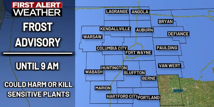
FORT WAYNE, Ind. (WPTA) - have been issued for this morning and tomorrow morning due to the frost and freeze risk.
Morning lows will slip into the 30s for the next two days. With the low to mid 30s looking like the lowest we’ll go this morning, only patchy frost is expected for today. Nonetheless, patchy frost can still harm some crops. We’re trending a bit colder tomorrow, with many places reaching near-freezing temperatures around sunrise. Not only is frost expected for Friday morning, but some towns may experience a light freeze. Frost and freeze conditions can severely harm, if not kill, local crops which would mark an end to the growing season for many.
Our ‘First Alert Weather Day’ headlines for today and tomorrow are mainly focused on local farmers, who will see the greatest impac

 The Gleaner
 PBS NewsHour Video
 OK Magazine