
 WAAY TV
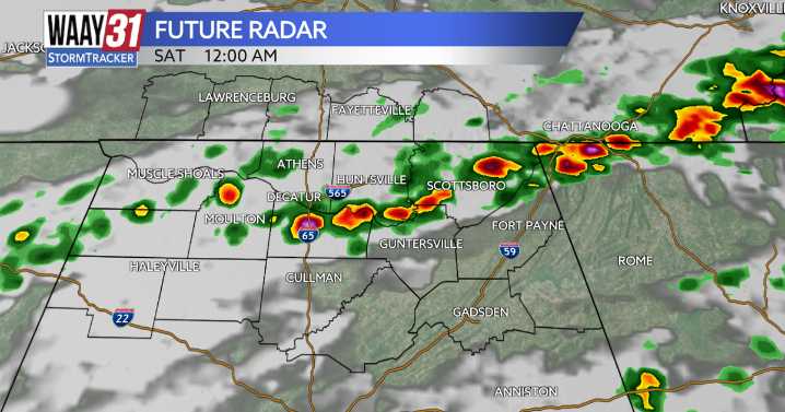
** LOW END SEVERE WEATHER RISK IN PLACE FOR BOTH FRIDAY AND SATURDAY **
A series of cold fronts are poised to move through north Alabama over the next few days bringing storm chances followed by the coldest air of the season so far. There will be a limited risk for a few strong storms Friday evening and again Saturday night, but widespread severe weather looks unlikely.
We will remain quiet for tonight with clear skies this evening followed by an increase in clouds late. Temperatures will fall back into the low 50s.
Friday will be a mostly cloudy day with a light shower or sprinkle possible. Temperatures will warm into the low 70s. As we head into the evening hours a broken line of storms is expected to form ahead of a cold front. A strong storm or 2 is possible with gusty wind and hail

 FOX 26 Texas
 The Weather Channel
 Deseret News
 WSMV 4 Nashville
 K2 Radio Local
 WSAZ NewsChannel 3
 WKOW 27
 Watertown Public Opinion
 KXLY 4 News
 Tribune Chronicle Sports