
 WRCB-TV
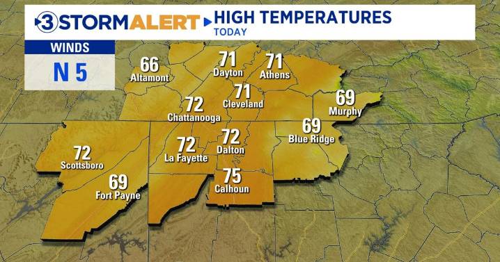
Good morning! The first part of our Friday will feature quiet weather and warm temperatures in the 70s this afternoon. Our next chance for rain returns late this evening as a cold front sweeps in from the west. This will be a quick-hitting system, and the best chance of rain and storms will be between 9 PM today and 4 AM Saturday. The severe threat is low, but damaging wind gusts are possible as the initial line of storms moves through. The rain will taper off by Saturday morning.
An arctic cold front will move through on Sunday, bringing a hefty dose of cold air to the Tennessee Valley. Wind chill values will drop into the teens and 20s by Monday morning, with actual temperatures falling below freezing. Highs will struggle to rise out of the 30s and 40s on Monday with wind chills hoverin

 WDTN
WDTN WLFI News 18
 FOX 26 Texas
 The Weather Channel
 WSMV 4 Nashville
 Deseret News
 Florida Today
 WMAR-2 News
 Watertown Public Opinion
 WKOW 27
 K2 Radio Local
 WSAZ NewsChannel 3
 Raw Story