
 KOMU 8
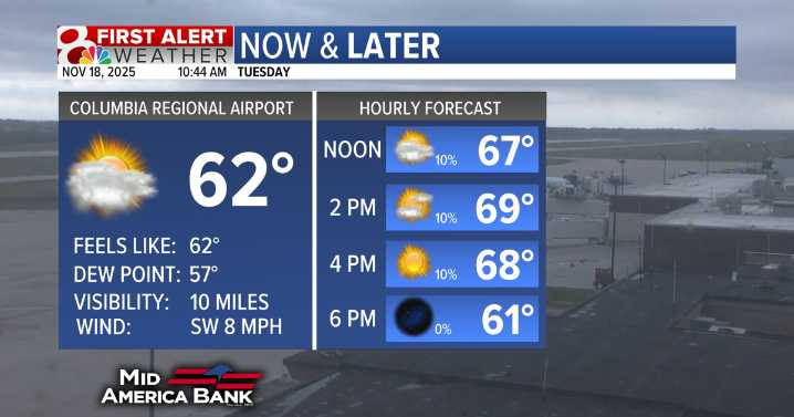
Tuesday will be the warmest day of the week with highs in the lower 70s, even closer to the middle 70s south of Hwy 50. There will also be more sunshine this afternoon compared to this morning.
Clouds don't stay away long. Tuesday night will be mostly cloudy and the clouds stick around on Wednesday.
Rain holds off on Wednesday before fairly widespread showers are expected Thursday and Friday.
There will still be dry time on both Thursday and Friday. Widespread rainfall totals of 1-2" are likely with locally higher amounts closer to 3" possible.
Rain will exit by the weekend and temperatures will stay in the middle to upper 50s.

 AccuWeather Severe Weather
 WIS News 10
 WMTV NBC15
 WYMT
WYMT Courier Journal
 The Bay City Times
 KRIS 6 News Weather
 14 News
 Newsweek Top
 Associated Press Top News