
 Jackson Citizen Patriot
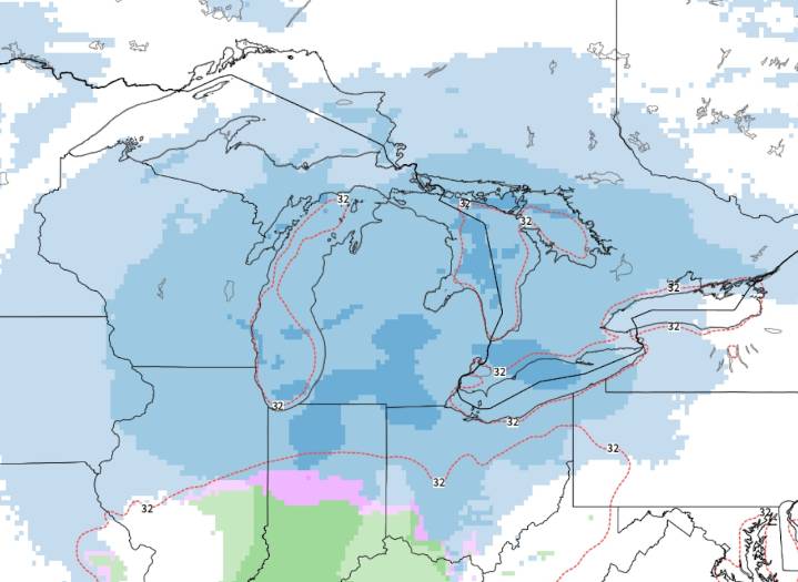
The next storm system is already becoming fairly consistent in all of the weather data. Here’s an early look at the timing and potential snow.
The next storm system is on the West Coast now, will drop down into the central Plains Friday and head toward the Great Lakes region for Saturday into Sunday.
This next storm system appears to likely take a track that puts all of Lower Michigan in the steady snow area on the north, cold side of a storm system.
It’s not going to be a mega-storm, but I’d call it a solid swath of snow.
Here’s the radar forecast from early Saturday to Sunday morning. This is as far out as I would trust now, but it covers over half of the snowy period. At this pace, the snow would end by early Sunday afternoon.
I’d call it about an 18-hour snowy period anywhere in L

 The Bay City Times
 13 On Your Side
 Daily Voice
 Detroit News
 CNN Climate
 AccuWeather Severe Weather
 WMTV NBC15
 The Oregonian Public Safety
 Associated Press US News
 WISC-TV Channel 3000
 New York Post