By Joe Lombardi From Daily Voice
A parade of winter storms is lining up for the Northeast, with another snowmaking system set to arrive as the weekend approaches.
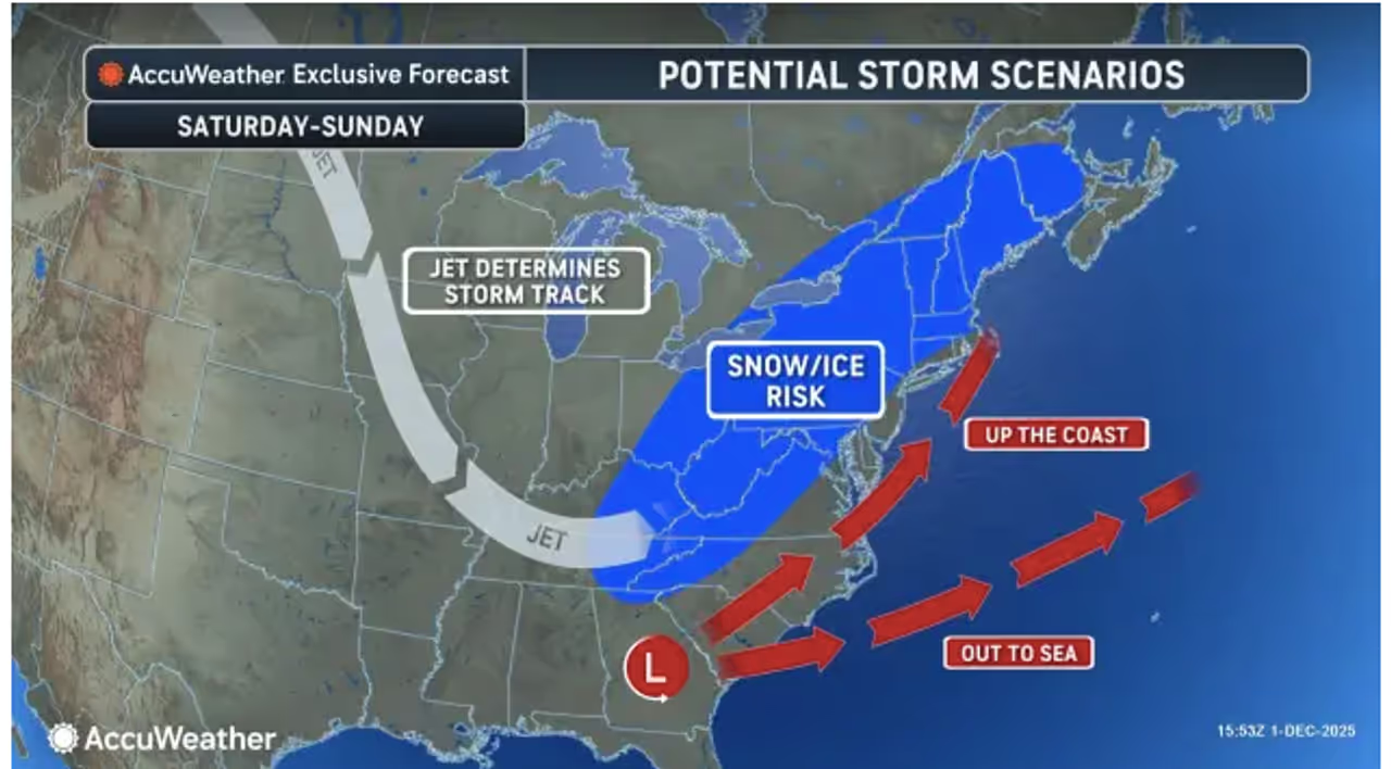
Cold air will grip the central and eastern US, sticking around after the season’s first widespread snow. Forecasters say the next system is on track for Friday, Dec. 5 into Saturday, Dec. 6, and could bring a wintry mix to the region.
According to AccuWeather, snow is likely farthest north, with a blend of rain, snow, and ice possible in other areas, and mostly rain expected along the coast and farther south.
The upcoming chill is linked to an Arctic blast driven by a shift in the polar vortex. AccuWeather meteorologists say the cold will settle in from Wednesday, Dec. 3 to Thursday, Dec. 4 throughout much of the central and northeastern US.
"This Arctic air outbreak can be attributed to a displacement of the polar vortex," AccuWeather Lead Long-Range Meteorologist Paul Pastelok said. "The outbreak this week will be the first of probably three such rounds with it. Another cold blast is likely next week and a third the week after that. The waves of Arctic air will lead to significant surges in energy demands."
Nighttime and early morning temperatures are expected to drop into the 10s and 20s in the interior Northeast, and along the I-95 corridor later this week.
The first system will deliver accumulating snow, ice, and rain from Monday night, Dec. 1 through Tuesday, Dec. 2 in the Northeast, setting the stage for more winter weather to follow.
The snow associated with these Arctic blasts could be brief but add up to several inches, leading to slick roads and potential travel delays for drivers and flyers. School delays, early dismissals, or cancellations could also occur.
"Should the cold air sit back just a bit in the Northeast and let the storm strengthen as it nears the Atlantic coast, it could turn into a heavy snow accumulation from the southern Appalachians and Piedmont all the way to the interior mid-Atlantic and much of New England," AccuWeather Chief On-Air Meteorologist Bernie Rayno said.
Check back to Daily Voice for updates.

 Daily Voice

 Idaho News 6
 KOLR10 News
 WMTV NBC15
 WNNY-TV
 New York Post
 The Bronx Daily
 New York Daily News Crime
 WAND TV
 IMDb TV