
 Bring Me The News
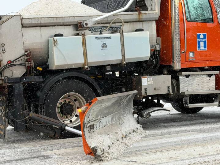
After a strong clipper dumped 4-8+ inches of snow from Sioux Falls to Des Moines on Saturday, the next system of note is due to pass through Minnesota on Tuesday, and it could pack a punch.
According to the National Weather Service, "Tuesday continues to look like the most interesting period of the forecast" as a "much stronger clipper" will be nearing western Minnesota by Tuesday afternoon. The key to determining who gets snow will be the track of the system, as there will be a warm side and a cold side to the storm.
"Current model consensus tracks the surface low basically along the I-94 corridor, such that the heaviest snow would be along and just north of this corridor," says the Twin Cities office of the National Weather Service.
"This angry clipper looks like it could pack quite t

 KSNB Local4 Central Nebraska
 WCNC Charlotte
 WWSB
WWSB KOLO8
KOLO8 KOMU 8
 Battle Creek Enquirer
 WNNY-TV
 Eyewitness News 3
 KWWL
KWWL ABC30 Fresno Sports