
 WSIL-TV
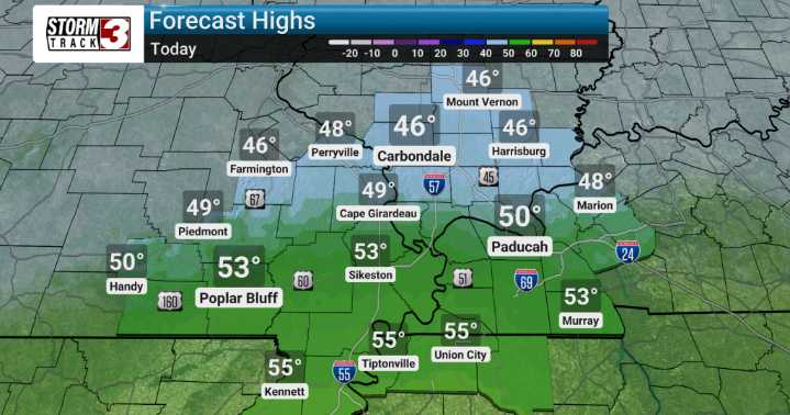
Today, expect showers early on, giving way to continued cloudiness and blustery conditions. The big story today is the wind. We're forecasting gusty southwest winds of 30-40 mph shifting to the northwest through midday as a cold front pushes through. These winds will gradually decrease during the afternoon, but the air will feel noticeably cooler behind the front.
Looking ahead, there's a small chance of light snow developing Thursday night, mainly impacting areas in southwest Indiana, northwest Kentucky, and portions of southern Illinois north of Route 13.
We might see minor accumulations, particularly in grassy areas north of Interstate 64, but any snow accumulation Friday morning will be short-lived as temperatures quickly climb through the 30s.

 ABC News Weather
 KNOE
KNOE WAND TV
 KCTV5 News
 13 On Your Side
 5 On Your Side Sports
 AlterNet
 The Daily Beast
 New York Post