
 WSAZ NewsChannel 3
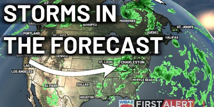
HUNTINGTON, W.Va. (WSAZ) - As high pressure works its way further and further to the south and west of the region, winds will become increasingly southwesterly.
This will allow for the development of more humidity into the area, as well as a cold front from the north and west to move in (driving some thunderstorms as a lot of kids head back to school).
Winds high in the sky will be too weak for any severe thunderstorms, but downpours, lightning, and thunder will be a possibility.
As storms move away, humidity will remain increased over the area. Heat will return by the weekend, so we’ll have to watch for the potential of some First Alert Weather Days for the heat as the dangerous heat indices will be a possibility.
Copyright 2025 WSAZ. All rights reserved.

 America News
 Eyewitness News 3
 WEVV 44News
 NBC Southern California
 KTVU San Francisco
 Statesman Journal
 FOX 32 Chicago
 AlterNet