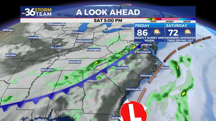
You'll need to take the rain gear along on Thursday After a return of some much needed showers and storms across the area on Tuesday even though the activity was scattered, much of Central and Eastern Kentucky remained dry on Wednesday with a mix of clouds and sunshine across the area. The mid-level wave responsible for driving the pulse-type storms worked its way eastward so we did see a few additional showers and storms fir up through Wednesday afternoon, mainly into Eastern Kentucky. It was another pleasantly warm day with afternoon highs in the low 80s, which is right where we should be for early September.
A cold front will slide in from the northwest on Thursday bringing a better chance for widespread showers and storms across the region. While totals aren’t expected to be overly h

 News Channel 36

 LEX 18 News
 1011 Now Lincoln
 KOMU 8
 KTVB 7
 KSNB Local4 Central Nebraska
 WBKO
WBKO FOX Weather
 Joplin Globe
 CBS Boston
 The Bay City Times
 Deadline
 Battle Creek Enquirer