
 The Columbian
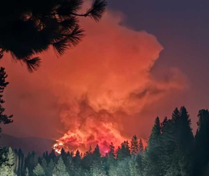
WENATCHEE — The Lower Sugarloaf fire that started burning Monday about 17 miles west of Entiat, has grown to more than 7,100 acres.
The fire near Sugarloaf Peak is burning in the footprint of the 1994 Tyee Fire, with smoke visible from Plain, Leavenworth, Wenatchee, and Entiat, according to a Facebook post from the U.S Forest Service.
DeMario contributed the large increase in the fire to the hot and dry weather.
A Level 2 evacuation — get ready — is in effect for Chumstick Highway. A closure around the fire zone is expected to begin late Wednesday, the post said.
Current resources include: three helicopters, air attack, the Baker River and Navajo hotshot crews, three Type 2 crews, and three engines. Additional resources arriving on Wednesday include a surge task force from the Departme

 The radio station 99.5 The Apple
 America News
 New York Post
 Independent Record
 The Register-Guard
 People Human Interest
 WENY News
 Reuters US Top
 AccuWeather Severe Weather
 Associated Press US and World News Video