
 KOLR10 News
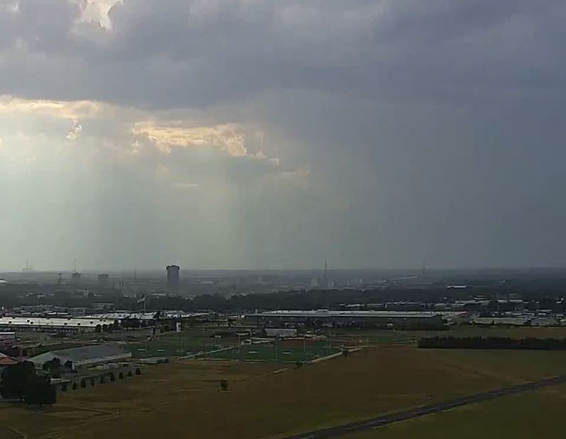
Given the increase in thunderstorm activity and intensity, the National Weather Service has issued a severe thunderstorm watch for the majority of counties in the Ozarks.
A cold front is in the process of pushing through the region, effectively ripping away the 90-degree September sizzling heat we've been stuck with for the past week. In doing so, this is serving as a catalyst for severe weather.
Numerous thunderstorms have developed mainly along and west of Hwy 65 and are expected to slowly shift to the east throughout the night.
Most of the region will only experience sub-severe thunderstorms; however, the potential for a few stronger storms is on the table.
The main threats for tonight will be winds gusting up to 60mph, along with the possibility of quarter-sized hail.
The Severe T

 FOX 5 Atlanta Crime
 Gainesville Sun
 K2 Radio Local
 Florida Today
 The Weather Channel
 FOX 5 DC
 KSNB Local4 Central Nebraska
 Arizona's Family
 KMVT
KMVT Nicki Swift