
 Birminghalm Mail
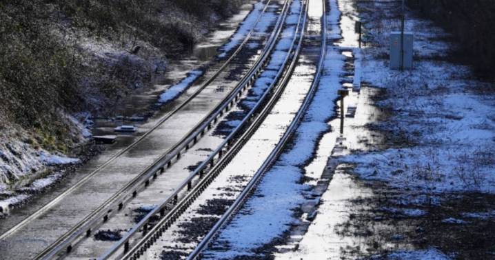
View Image
All the parts of England facing the heaviest possible snow this week - measuring EIGHT INCHES - have been revealed. Weather maps and charts from the Met Office reveal the exact areas eight inches of snow could hit.
Amid its spate of yellow warnings for ice and snow, the Met Office is forecasting 20cm - eight inches - in some areas. T he Met Office forecasts 2-5cm (0.78 to 1.9 inches) is possible at low levels; 5-10cm (1.9 to 3.9 inches) on hills above 100 metres.
But it says there could be "potentially" as much as 15-20cm (5.9 to 7.87 inches) on ground above 300m. The areas at risk include Cumbria, Northumberland, Durham, Westmorland, Cumberland and parts of north Yorkshire.
READ MORE Price hike for 'crucial' document all UK households need
Sky News presenter Jo Wheeler s

 Daily Star Latest
 Britain News
 Aberdeen Live
 METRO News
 6abc Action News Sports
 Raw Story
 NBC Connecticut Entertainment
 The Week
 OK Magazine