
 WKYT
WKYT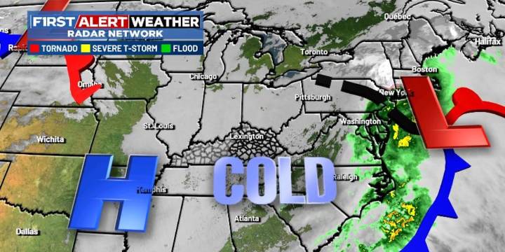
LEXINGTON, Ky. (WKYT) - Our winter storm continues to pull away to the northeast after leaving behind snow and ice across Kentucky.
Flurries and pockets of snow showers linger into tonight and Wednesday morning with frigid wind chills. Lows tonight hit the upper teens and low 20s with a wind chill even colder.
The next system to impact our weather is a cold front on Thursday. This brings a few flurries or snow showers, especially in the north and east. Temps stay frigid with this.
Another system moves our way from the south and brings the chance for some winter weather on Friday. The best chance right now is across southern parts of the state.
A clipper moves in Sunday with the chance for some light snow.

 WHAS 11
 WLKY
WLKY WAVE 3 News
 Spectrum News Louisville
 Raw Story
 NBC News NFL
 Vogue Living
 Reuters US Domestic