
 KIMT News 3
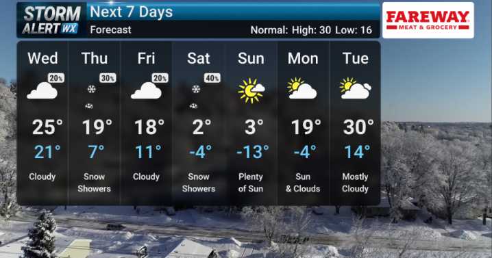
STORMTRACK 3 FORECAST:
UPDATED: 9 PM TUESDAY
The initial wave of precipitation from today's Clipper continues to move east and out of our immediate area. This is accompanied by warming temperatures as some cities approach the 40 mark! These temperatures over freezing have been helpful from keeping ice from staying on area roadways, however, slush and snow remain a problem. The lull in activity will help crews continue to treat roads but another wintry threat will be heading in around midnight.
As the Clipper spins to our east overnight into Wednesday morning, we'll be caught in the path of an associated cold front. This will not only bring another round of snow but intense northwestern winds as well. A High Wind Warning will remain in effect for Cerro Gordo, Worth, Hancock, and Winnebag

 KCRG Iowa
 Raw Story
 Esquire
 The Babylon Bee
 CNN
CNN The Fashion Spot
 Essentiallysports College Sports
 Essentiallysports Football