
 PennLive Pa. Politics
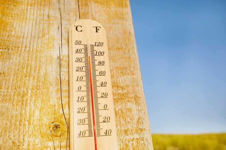
Central Pennsylvania is bracing for another day of intense summer heat, with temperatures climbing into the 90s and high humidity creating potentially dangerous conditions. A significant thunderstorm system is expected to bring locally heavy rainfall and possible storm activity on Wednesday.
The heat wave will persist through Tuesday, with daytime temperatures reaching 5 to 10 degrees above historical averages, pushing into the low 90s in central and eastern valleys.
Overnight low temperatures will remain uncomfortably warm, staying in the 60s to low 70s with high humidity making conditions feel even more oppressive.
🌡️ Heat and humidity will build into the middle of the week with dry conditions, outside of an isolated shower/storm across western Pennsylvania Tuesday afternoon/evening.

 WEVV 44News
 Ann Arbor News
 America News
 Eyewitness News 3
 FOX 5 Atlanta Crime
 Ocala Star-Banner
 Darkhorse Press
 TMJ4 News
 The Coloradoan
 CNN Politics