
 Bring Me The News
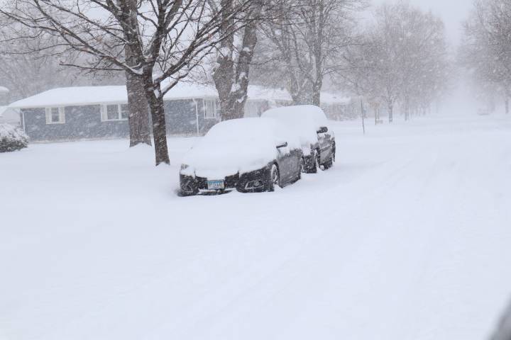
A winter storm watch has been issued by the National Weather Service ahead of "heavy snow" in Minnesota
The watch is in effect from Minnesota's northern border stretching as far south as the Brainerd Lakes region and Fergus Falls. It begins at midnight Tuesday and continues through 6 a.m. Wednesday.
While there could be changes between now and Tuesday, as things stand the National Weather Service is forecasting that total snow accumulations could range from 3-7 inches – though some higher amounts may be possible in parts of northern Minnesota.
As things stand, the Bemidji, Ely, and Grand Marais regions could see the largest amounts.
It has the potential to make travel challenging for anyone making an early start on their Thanksgiving travel, though fortunately most of the snow will hav

 InForum
 Brainerd Dispatch
 Daily Voice
 Arizona's Family
 KPLC
KPLC WRCB-TV
 Akron Beacon Journal Sports
 Newsweek Top
 Edmonton Sun World
 CBS News
 People Top Story