
 KOMU 8
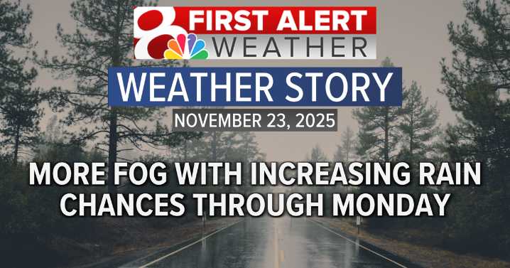
Sunday sunshine was prevalent across most of the state, but a stubborn band of low level clouds and fog stayed parked over mid-Missouri due to a combination of low level moisture and a lack of lower level winds. This in turn kept temperatures much cooler and as we head into the early part of the week our next storm system is going to arrive bringing more rain to central Missouri.
MONDAY’S FORECAST
Fog is expected to redevelop overnight and into Monday as cloud cover begins to increase from the west associated with our next storm system. Temperatures won’t fall much, but are expected to drop into the middle 40s with patchy fog and drizzle for the morning hours.
Through the day rain chances will start to increase with rainfall becoming widespread into the afternoon and evening
Temperatur

 Newsweek Top
 Daily Voice
 CW39 Houston
 AccuWeather Severe Weather
 Deseret News
 Democrat and Chronicle
 The Daily Mash