
 KRQE News 13
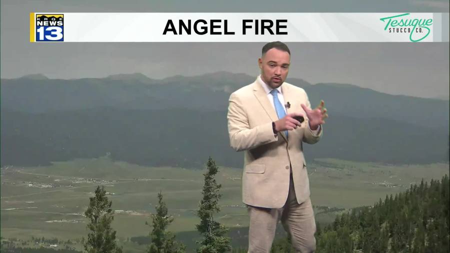
Another round of record and near-record heat is on the way this afternoon. Spotty showers and storms will return again today, Saturday, and Sunday afternoons, but very little of the rain will make it to the ground. These storms could bring very gusty winds and a wildfire threat due to lightning. Temperatures through the weekend will also slightly cool down from near record breaking heat.
Next week, temperatures will cool off a few more degrees with a weak cold front that will bring higher moisture into the state. That will cause an uptick in storm chances and wetting rainfall early next week. High pressure builds back over the state again around the middle of next week bringing back hotter temperatures. However, more monsoon moisture will get drawn up into the state, increasing rain chanc

 KOLO8
KOLO8 WITN-TV
 Arizona's Family
 Kitsap Sun
 WAFB
WAFB AlterNet