
 The Bay City Times
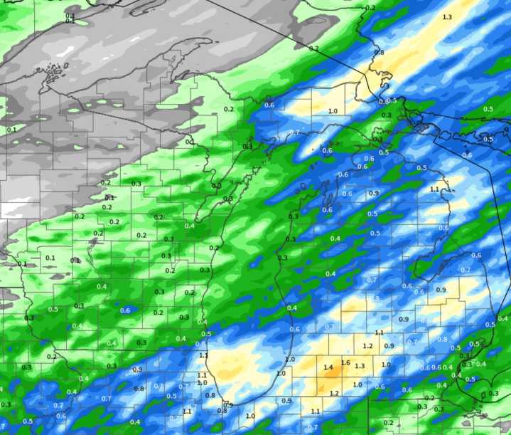
This week’s weather in Michigan will be a textbook case of a cold front moving through our state. This weather scenario brings a certain type of weather before the cold front, during and after the passage of the front. Each day will have a touch different weather than the day before.
The cold front will move through Lower Michigan Tuesday and Tuesday night. The cold front should be south of Michigan by sunrise Wednesday morning.
This means the thunderstorms in front of the cold front will occur Tuesday afternoon and Tuesday night.
The look of the storm system, coupled with the time of year and time of day for t-storm passage, will make us watch for severe thunderstorms in the second half of Tuesday.
Here is the radar forecast from the model that is usually the most accurate in this set

 Detroit Free Press
 America News
 Associated Press Top News
 WWSB
WWSB Lansing State Journal
 The Oregonian Public Safety
 Bozeman Daily Chronicle
 KOLO8
KOLO8 Raw Story