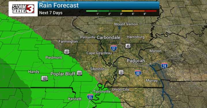
We're tracking a significant pattern change that is set to usher in a much cooler and drier air mass to our area as we move through the week. This is quite unusual for late August, as we'll see temperatures well below average. High temperatures will consistently struggle to reach the 80-degree mark for much of the week, with many areas topping out in the middle 70s to lower 80s. Even more notable are the overnight lows, which are expected to fall into the 50s across the board, with some isolated spots dipping into the upper 40s. We're even keeping an eye on the possibility of some record lows being challenged, particularly by Wednesday morning.
The primary driver for this change is high pressure building south, which will place us in a northwesterly flow. This setup is also very effective

 WSIL-TV

 KPTV Fox 12 Oregon
 The Oregonian Public Safety
 WKOW 27
 KBTX News 3
 Newsday
 FOX News Travel
 ABC News Weather
 WCBI-TV
 WCNC Charlotte Weather
 NBC Right Now News
 AlterNet