
 WATE 6 On Your Side
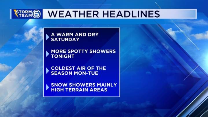
A pleasant Saturday before an arctic blast brings the coldest air of the season and near-record temperatures. • Today: Dense AM Fog, then a mix of clouds and sun with a warm afternoon. High: 69°. • Tonight: (30%) Spotty showers. Otherwise mainly cloudy and mild overnight. Low: 50°. • Sunday: (30%) Coldest air of the season moves in with falling temps through the afternoon hours. Spotty rain to snow showers possible later evening. High 55° (in the morning).
The fog has been very dense across the region this morning and will stick around until mid-morning for some. This afternoon will be a comfortable one with a mix of sun and clouds. Highs will reach the upper 60s with even a few places topping out in the lower 70s. Another front will move through the region tonight. This front will

 ABC57 News
 CBS 58 News
 Action News 5 Crime
 Dickson County Source
 WRCB-TV
 WBIR Channel 10
 WREG News Channel 3
 The Tennessean
 NewsChannel 5 Nashville
 FOX News