
 KOMU 8
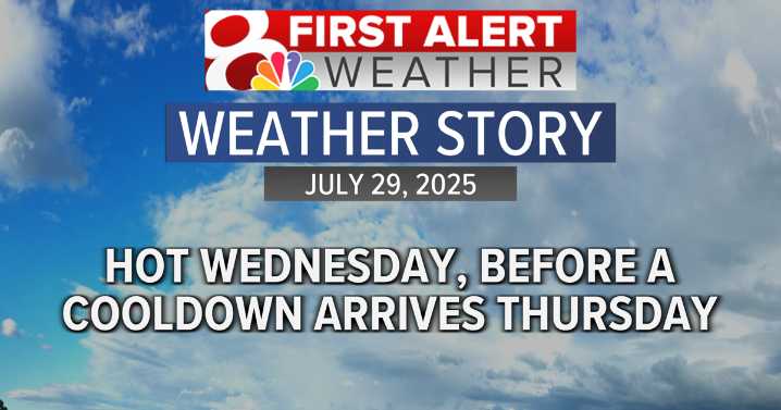
Next 24 hours
It will be another warm and muggy night, with temperatures slowly falling into the upper 70s. With a warm start to Wednesday, temperatures will soar into the 90s once again, with heat indices in the triple digits once more.
However, the cold front that will bring a new cooler, less humid air mass into the region overnight Wednesday and into Thursday will stall almost along I-70 tomorrow, leaving areas north of I-70 cooler and less humid, and areas along and south of I-70 hot and humid.
With two strong opposing air masses colliding in a moisture rich environment, storms are expected to kick off late in the evening, bringing a low damaging wind threat and a slightly higher flash flooding risk. With this in mind, the KOMU 8 Weather Team has issued a storm mode index of 1 (1-5

 KRIS 6 News Weather
 NBC12
NBC12 WDHN News
 The Post and Courier
 Kitsap Sun
 WITN-TV
 Arizona's Family
 KOLO8
KOLO8 WAFB
WAFB Aljazeera US & Canada
 Raw Story
 Associated Press US News
 The Spectator